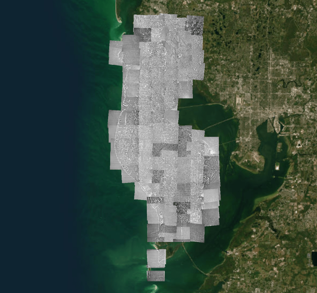
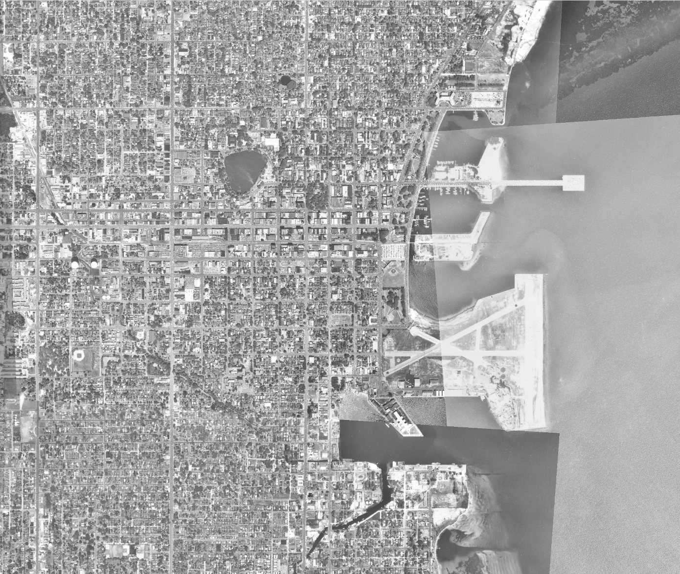
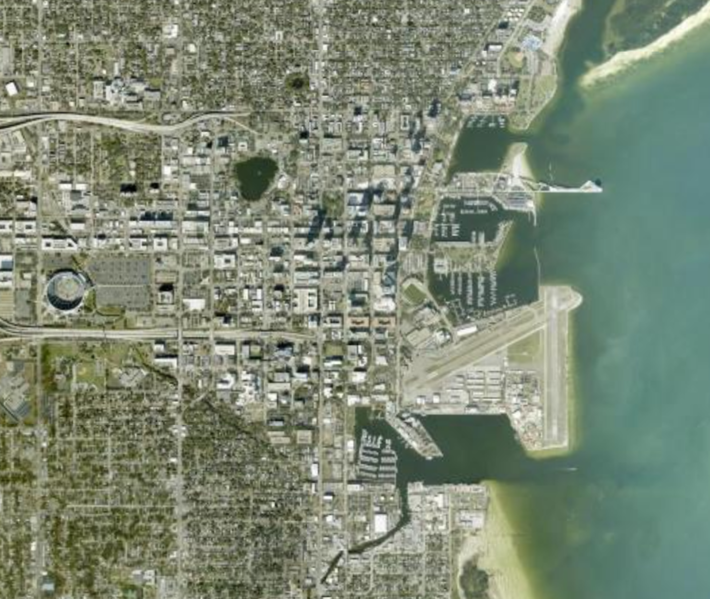
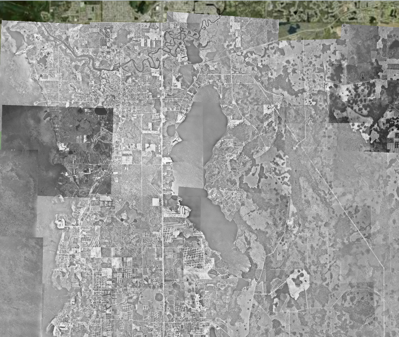
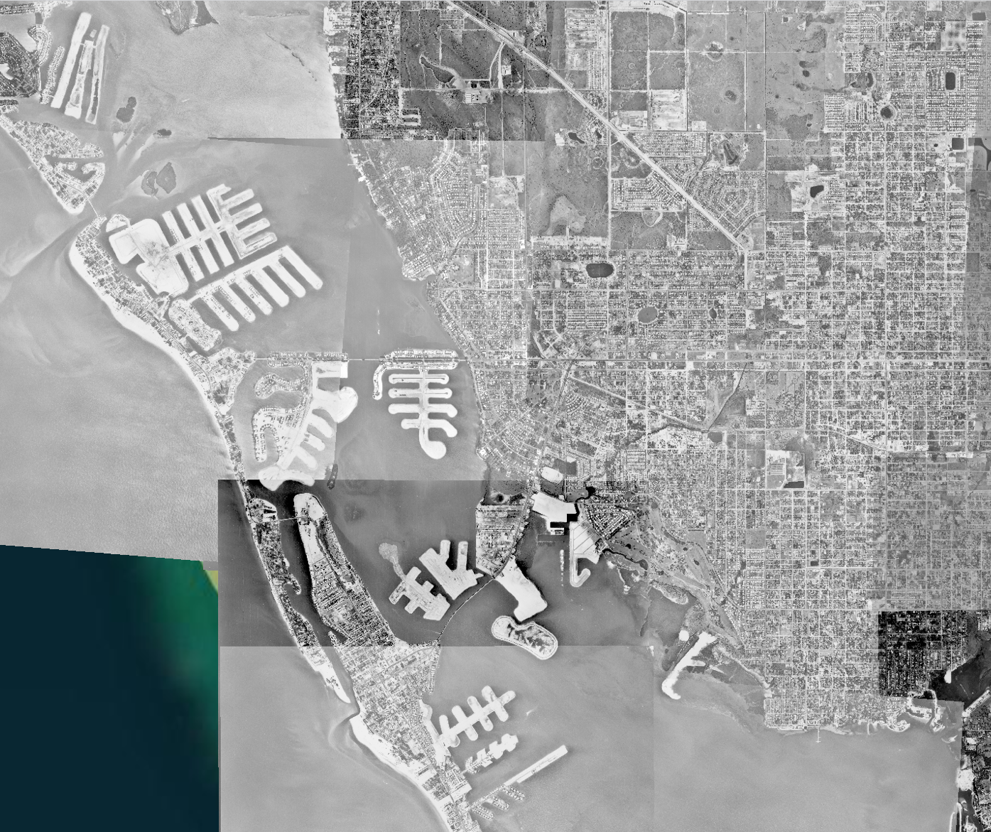
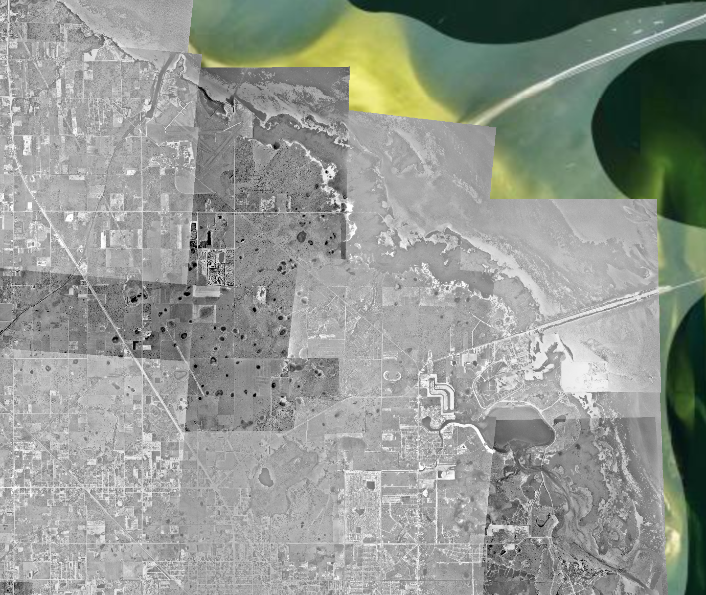
This project supported future GIS work documenting St. Petersburg and Pinellas County history at the Center for Digital History and Geospatial Information. Using aerial imagery from 1957, a mosaicked basemap layer was created to support interactive maps and serve as a reference for other tasks.
The project involved collecting images from USGS databases, cropping them in Adobe Illustrator, geolocating and mosaicking them in ArcGIS Pro, and uploading the final basemap to ArcGIS Online. Geolocation used the GIS basemap and imagery from Google Earth Engine to align the past environment with the present.
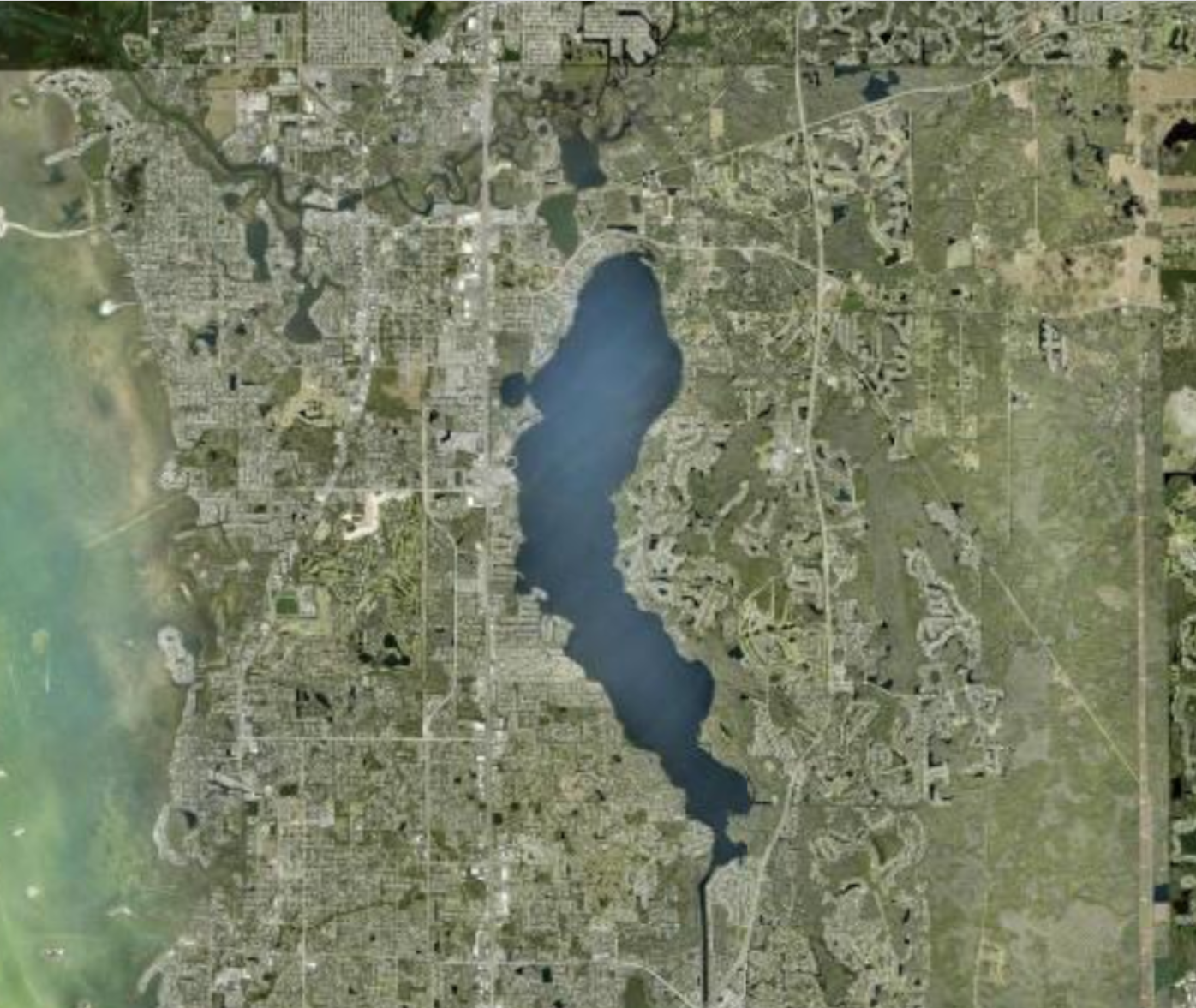
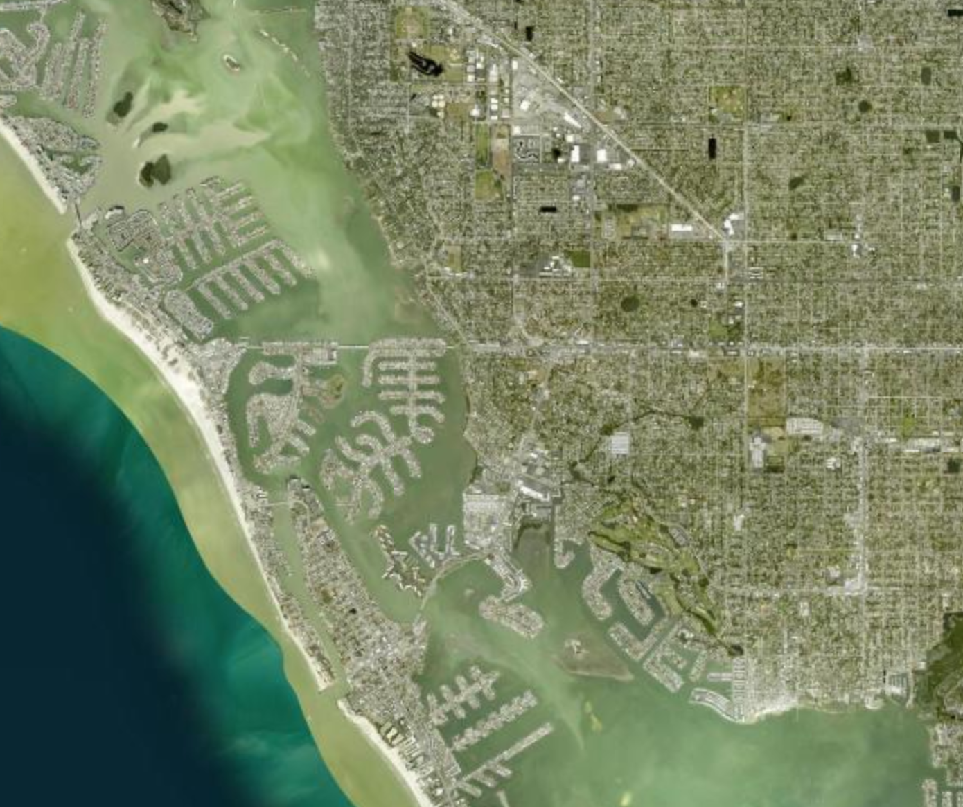
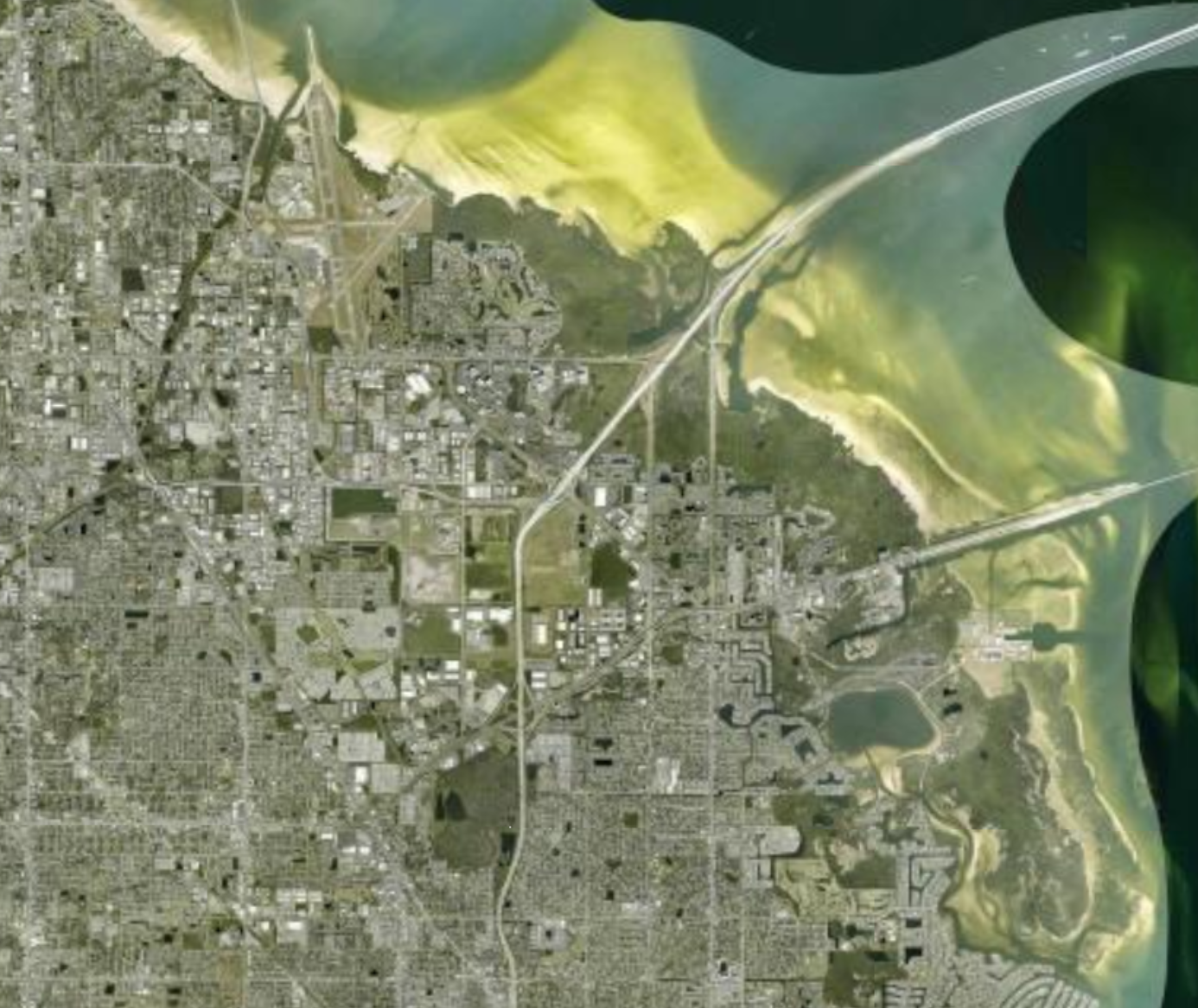
The resulting mosaic provided a near-seamless basemap of Pinellas County in 1957. It covered the county from Tarpon Springs in the north to Fort De Soto in the south, was visible at multiple scales, and helped locate and georeference historic structures for other projects, extending its impact across future work.